
Downloads
DOI:
https://doi.org/10.58981/bluepapers.2026.2.03Published
Issue
Section
License
Copyright (c) 2025 Hélène Noizet

This work is licensed under a Creative Commons Attribution 4.0 International License.
How to Cite
Keywords:
resilience, urban fabric, wetlands, sewers, floodAbstract
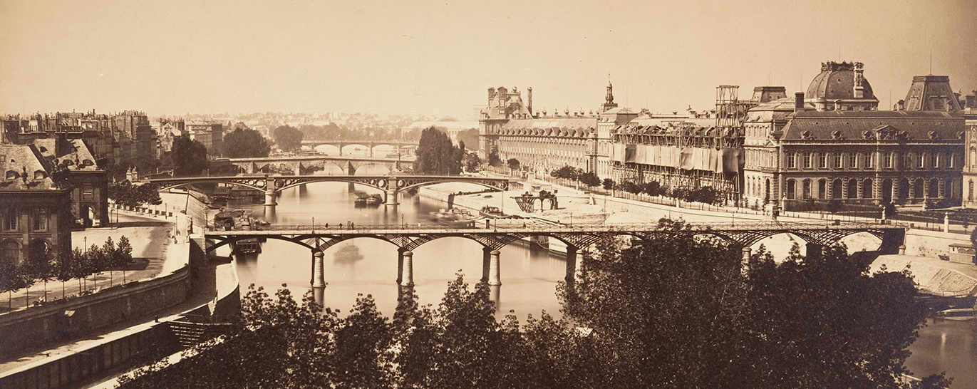
This article considers the heritage of river form in the current urban fabric, specifically in relation to an ancient meander of the Seine located on the right bank of Paris. The resilience of the river’s shape appears by crossing texts, maps and archaeological data in historical geospatial mapping (GIS). In the ninth century, the Church of Sainte-Opportune in Paris received from the king the wetland left behind by the ancient channel of the Seine and used it as common pasture until 1150. Then, the canons drained the marsh which was converted for vegetable farming and, since the fourteenth century, for a sewer system. Since the nineteenth century, it has influenced the orientation of urban plots and streets. Finally, during the big flood of 1910, the Seine returned to its ancient bed. This is an example of how forms are passed on over time: because functions change.
References
Chaussée, Christine, Chantal Leroyer, Olivier Girardclos, Gisèle Allenet, Patrick Pion and Pascal Raymond. 2008. “Holocene History of the River Seine, Paris, France: Bio-chronostratigraphic and Geomorphological Evidence from the Quai Branly.” The Holocene 18 (6): 967–80.
Chouquer, Gérard, ed. 2003. “Objets en crise, objets recomposes” [Objects in crisis, recomposed objects]. Études rurales (167–68). https://journals.openedition.org/etudesrurales/2928.
Kleindienst, Thérèse. 1963. “La topographie et l’exploitation des ‘Marais de Paris’, du XIIe au XVIIe siècle” [The topography and exploitation of the Paris marshes, from the twelfth to the seventeenth century]. Paris et Île-de-France-Mémoires (14): 7–167.
Krusch, Bruno, and Wilhelm Levison. 1951. Grégoire de Tours, Historiarum libri X [Gregory of Tours, ten books of histories]. 2nd ed. Vol. 1. Hanover: MGH.
Lazare, Félix, and Louis Lazare. 1844. Dictionnaire administratif et historique des rues de Paris et de ses monuments [Administrative and historical dictionary of the streets of Paris and its monuments]. Paris: Éditions F. Lazare.
Noizet, Hélène, Sandrine Robert and Laurent Mirlou. 2011. “Cartographie des crues centennales à Paris (1740, 1910)” [Mapping of centennial floods in Paris (1740, 1910)]. Revue du Nord (26): 91–104.
Noizet, Hélène, Sandrine Robert and Laurent Mirlou. 2013. “La résilience des formes. La ceinture urbaine de la rive droite à Paris” [The resilience of forms: The urban belt of the right bank in Paris]. Études rurales (191): 193–220.
